
Walk a Jacksonville Beach Street
A sound street search moves from the physical address to records with firm identifiers. Duval County systems cover Jacksonville Beach even though the city kept its municipal government after consolidation. The county property roll supplies the parcel, assessed owner, legal description, sales references, and separate situs and mailing fields. The city adds permits and address assignments. Historic directories and lawful voter records may help with occupancy, but neither is a complete household list.
Use this street directory order to keep a spelling change or duplicate road from leading to the wrong lot.
- Enter the street number and name in the Duval Property Appraiser search. Save the RE number, situs, legal description, owner, and sale reference.
- Open the same address in the Duval Property Map. Scan parcels in street order and verify each map label in the property roll.
- Use the legal description or RE number to connect the lot to recorded deeds and city permits.
- Check a voter record only when the required name and birth date are known. It supports a dated link, not a list of adults.
- For older households, use the library street guide, directories, census, and newspapers while testing historic place names.
Search Jacksonville Beach by Address
The Property Appraiser Basic search can browse more than one exact house. Street Name works alone, and a Street Number such as 79% can scan a block. Set City to Jacksonville Beach to avoid similar roads elsewhere in Duval County. Match All narrows the fields; Match Any widens them. The Include Mailing Address export option compares the tax-mail destination with the parcel situs.
The official property-search tutorial shows the syntax and export controls.
| Field | Street use | Note |
|---|---|---|
| Street # | Exact house or block | Percent sign is a wildcard |
| Street Name | Whole named road | Works without a number |
| Type, direction, unit | Separates similar sites | Optional refinements |
| City and ZIP | Limits beach results | Use verified values |
| Mailing export | Shows tax-mail location | Not the situs |
The city-owned sample proves the difference without exposing a private owner: its mailing location and South Beach Parkway situs are not the same.
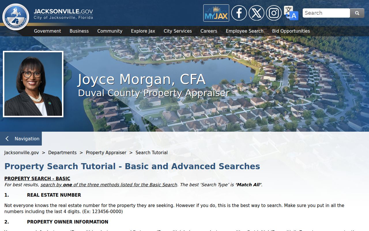
The screen identifies the wildcard and export choices before a street result is saved.
Map Jacksonville Beach Street Parcels
The Duval Property Map restores spatial order after a text search. Modes include Parcel, Address, Street, and EDA. Data includes RE number, owner, property address, city, and ZIP. Click each polygon, then confirm the owner in PAO because GIS carries a currency warning. Layers, measurement, query, sales, property data, and print tools add context.
Select By and Buffer can draw a point, line, polygon, or freehand polygon, set a distance, and select Parcel, Address Point, or Street. Keep the shape at block scale because exports stop at 1,000 results.
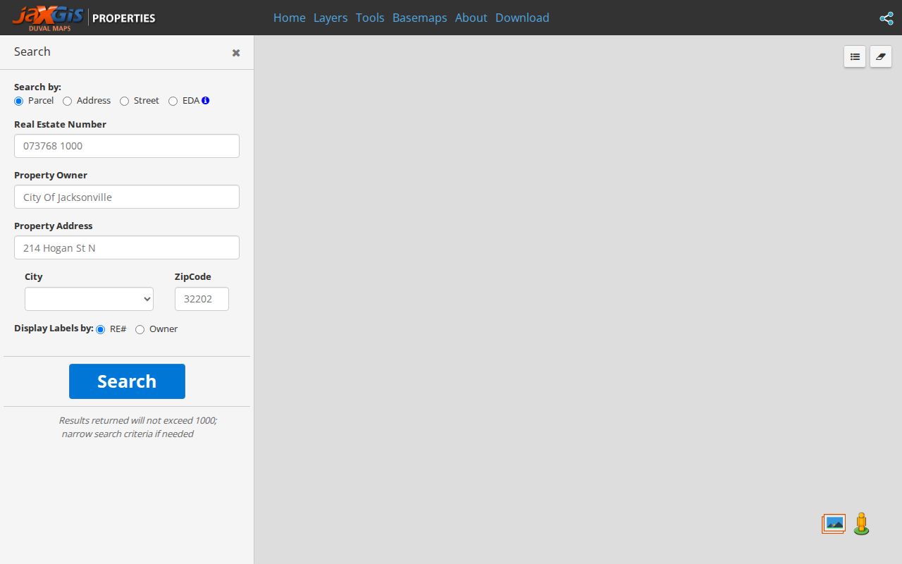
The map shows which lots are adjacent, while PAO remains the owner-data check.
Jacksonville Beach Street Numbering
The official address rules place the zero point at Beach Boulevard and the Atlantic. Numbers rise north and south from Beach Boulevard and west from the ocean. Odd numbers fall north or east, while even numbers fall south or west. Streets run north to south; avenues run east to west. Third Street, also A1A, is the main axis.
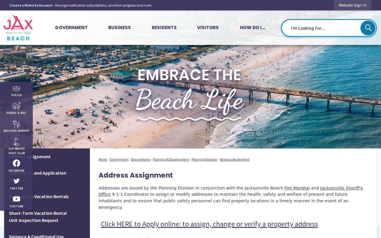
Planning, the Fire Marshal, and the JSO 9-1-1 Coordinator assign or change addresses. A corner site uses the frontage that gives the most direct emergency response. Addresses attach to structures or occupancies, not bare land.
The grid helps distinguish an avenue from a street and the side of Beach Boulevard.
Jacksonville Beach Street Record Sources
No single source lists each person at an address. Each row answers a narrower question.
| Source | Shows | Access | Limit |
|---|---|---|---|
| PAO roll | Situs, owner, mailing, legal description | Free search/export | No renters |
| Property Map | Parcel order and nearby lots | Free viewer | Verify in PAO |
| Clerk deeds | Recorded parties and transfers | Online since 1988; counter/mail earlier | Not proof of residence |
| COAST | Permit and inspection history | Free query; copies by request | Start date unproved |
| Voter record | Registration facts | Official lookup/inspection | Protected fields |
| Street guide | Historic occupants by block | JPL scans | Beach coverage varies |
Use the parcel and legal description as joining keys. Street text can change, but lot and block identity often survives.
Deeds Along Jacksonville Beach Streets
The Duval Clerk's Acclaim index searches grantor or grantee name, instrument number, document type, date, consideration, book and page, or case number. Online instruments start in 1988. Older records require the counter or mail to Room 1253, 501 W Adams Street, Jacksonville, with party names, dates, and a stamped return envelope.
Begin with the latest PAO sale reference, open the deed, and confirm the legal parcel. Search the seller as an earlier buyer, then repeat. For January 1 through 20, 2004, corrected instrument numbers lost an extra zero. Use name or book and page if the number fails.
- Parcel
- A mapped tract identified by an RE number.
- Situs address
- The physical site, not the tax-mail destination.
- Plat
- A recorded map of lots, blocks, and subdivision lines.
- Criss-cross directory
- A directory arranged by address or phone.
Jacksonville Beach Permits by Street
COAST, the Customer Online Application Search Tool, is free with no login. It queries historical permits, inspection status, plan-review status, and outstanding fees. The Building Inspection Division explains the route; copies come from the City Clerk. If the dynamic form fails, request a described permit under Florida Public Records Law.
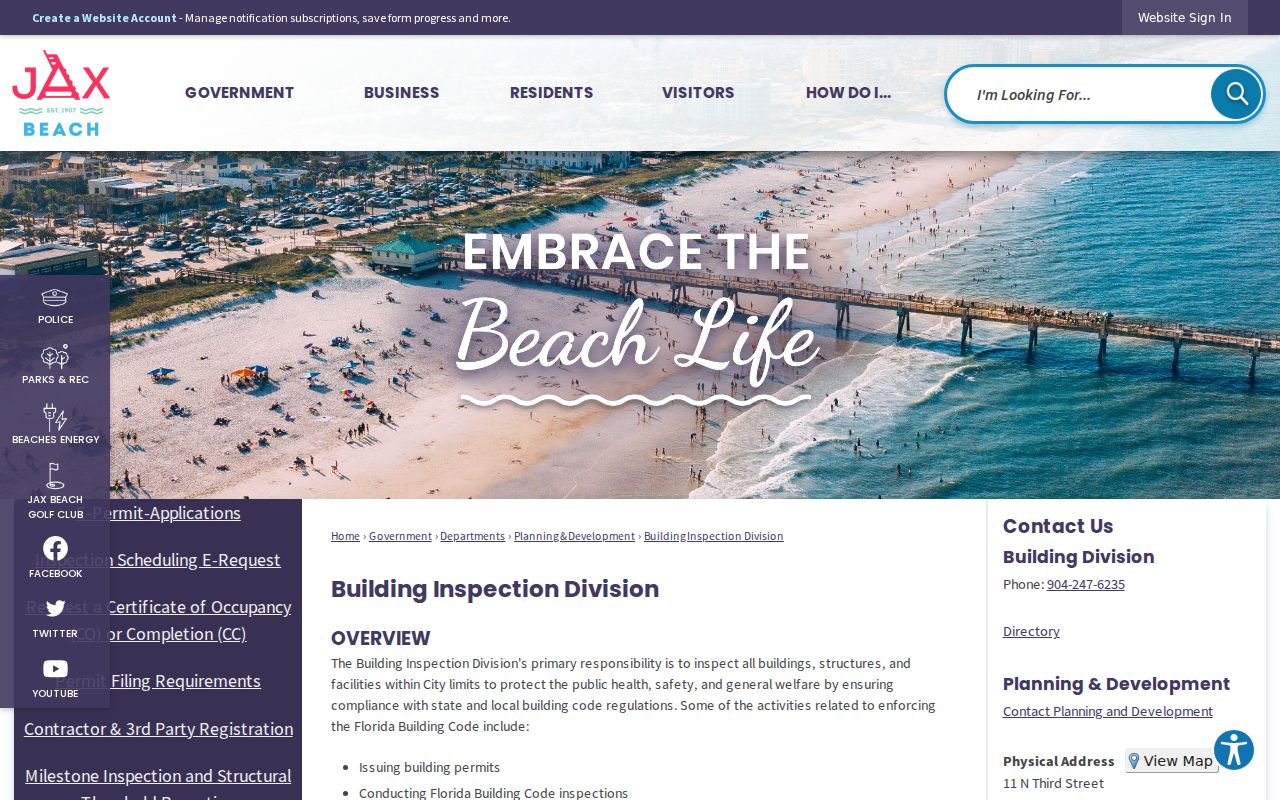
Permit status adds building history, though an applicant name must be read in its dated role.
The address assignment form asks for owner, current address, parcel ID, legal description, use, and site-plan facts.
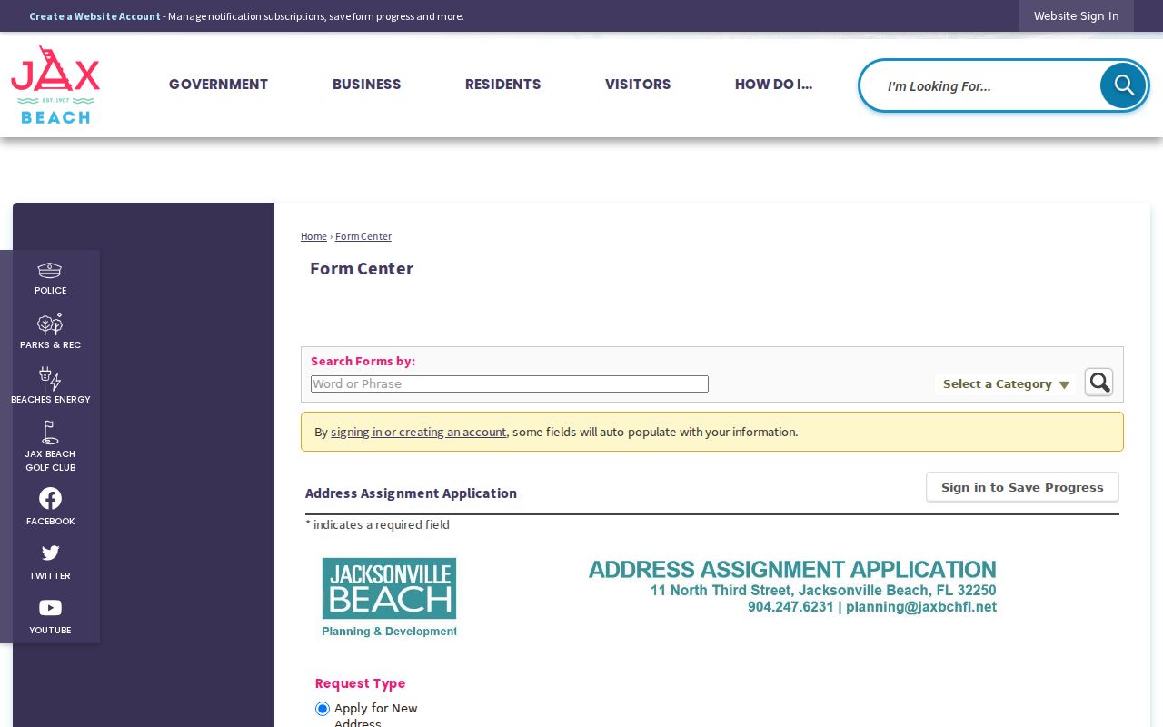
The form links a street number to a parcel without proving each occupant.
Older Jacksonville Beach Street Names
The settlement began as Ruby, became Pablo Beach in 1886, and took the name Jacksonville Beach in 1925. Pablo Avenue was formerly Ocean Avenue. Search each variant, then compare the legal description rather than trusting text alone. South Beach was largely unimproved until a 1985 redevelopment drive and 1987 plan, so a missing early address may mean the road or home did not yet exist.
The 1890 Murray Hall hotel and depot fire is local history, not proof that courthouse records burned. That tempting claim lacks official support.
Historic Jacksonville Beach Street Guides
JPL's 1905 street guide orders roads by block and house number, marks cross streets and corner occupants, and labels vacant sites. It is an early reverse-search tool. Exact Pablo Beach coverage must be checked in the scan before claiming a household. The collection itself is treated on the Jacksonville Beach city directory page.
Compare a hit with nearby directory years, the nearest public census through 1950, and newspapers. Beaches Leader starts in 1963; Times-Union files reach 1883. Publication dates control what each address link means.
Jacksonville Beach Ownership Clues
Homestead may support owner occupancy at an assessment point. It does not name spouses, children, roommates, guests, or renters. Voter registration also confirms only dated facts for an identified voter.
Key point. Owner, homestead, and voter fields are separate clues. None creates a full Jacksonville Beach household roll.
A careful street directory labels PAO names as owners. Occupant language belongs only with a record that states residence.
Limits of Jacksonville Beach Street Records
Renters and people with protected addresses may be absent. Florida protects specified voter identifiers and protected-class addresses. Safe Address can substitute a mailing location for eligible victims. DMV personal data is restricted, and utility lists are not resident directories.
Commercial search tools may merge people or retain stale addresses. Official sources give better dates and roles, yet a deed proves a transfer, not residence. A tax roll names the assessed owner, not the household.
When the online route stops, identify the record before contacting a custodian. Jacksonville Beach City Clerk requests should name the address, record type, and useful date range for permits or city files. Older Duval instruments can be requested from Official Records with party names, approximate dates, and any known book and page. Florida Public Records Law does not require a written request or an explanation of purpose, but a precise description reduces search time and extensive-use cost. The law calls for prompt access without imposing a fixed numeric deadline.
Police occurrence records follow a separate local channel. Jacksonville Beach Police Records at 101 Penman Road S accepts in-person, mail, email, or fax requests and generally estimates up to seven business days. A local history search covers Jacksonville Beach only, not all of Duval or Florida. Court files belong in CORE or with the Duval Clerk, while statewide criminal history is an FDLE service. Keeping those jurisdictions separate prevents a street-directory search from treating a city-only response as a countywide result.
Lawful use. Use Jacksonville Beach records for lawful personal research. Florida law prohibits stalking, cyberstalking, threats, and harassment.
Verify Jacksonville Beach Street Results
A street export becomes more useful when each row keeps the situs address, owner name, RE number, legal description, tax-mailing address, and search date. Sort by house number, then flag mailing addresses that differ from the site. That difference can reflect an ordinary tax-mail choice, a business owner, or an out-of-area owner. It does not show who sleeps at the property. Open parcel detail before copying a name because a broad wildcard can return similar streets elsewhere in Duval County.
Use PAO sale references as pointers, not a full title history. The parcel page may show a sale date, price, deed type, qualification code, and official-record book and page. Open the cited instrument in Acclaim and compare its legal description with the parcel. A qualified sale generally reflects an arm's-length transaction, while an unqualified transfer may involve family, nominal consideration, or another condition. Neither label proves occupancy. When Acclaim stops at 1988, saved book and page details can guide an older counter request.
Historic street work needs a dated source trail. Copy the directory year, printed locality, exact abbreviation, and page image. Compare the nearest census, deed, newspaper notice, or probate file. Search Ruby and Pablo Beach as well as Jacksonville Beach. Try Ocean Avenue when Pablo Avenue fails. If a South Beach address is missing in an early volume, check when the subdivision and street were created before assuming the resident was omitted.
For city permits, record the street number, RE number, owner-of-record field, legal description, proposed use, and application date. Jacksonville Beach address-assignment forms distinguish residential, multiple-family, commercial, office, retail, and no-change uses. Those fields can establish when an address was assigned or how an applicant described a project. They do not enumerate occupants. Request a copy from the City Clerk when COAST supplies a status but not the document needed for verification.
Keep failed searches in the notes too. Record the spelling, filters, date range, and portal used. A documented miss helps the Clerk or library suggest a different index without repeating the same search.