
Jacksonville Beach Block Lookup Sources
Jacksonville Beach neighbors appear in records made for different public tasks. The Duval Property Map shows the shape and order of parcels. The Property Appraiser confirms owner, parcel, situs, mailing, legal, sales, and building fields. Clerk deeds add earlier owners, while city permits can date work at an address. Voter information is narrower and protected fields stay closed. Use each source only for what it proves.
| Source | What It Shows About a Block | Access |
|---|---|---|
| Duval Property Map | Adjacent parcel shapes, owner labels and spatial pattern | Free viewer; confirm labels |
| Property Appraiser | Situs, owner, parcel and optional tax-mail address | Free online |
| Clerk deeds | Earlier owners and durable legal parcel identity | Online from 1988; counter or mail before |
| COAST and city requests | Permit, inspection and address timeline | Free query; copies by request |
| Voter records | Status and precinct for an identified person | Required identity facts; protected data withheld |
| Historic street guide | Past occupants ordered by street and block | JPL scans; beach coverage not proved |
The key limit is simple: owners are not the same as occupants. A tax-mail address can differ from the physical situs. Homestead may support owner occupancy but never lists a full household. A voter match confirms registration details for one identified person, not who is present today. Treat an empty result as an unknown, not as proof that a nearby home is vacant.
Buffer Jacksonville Beach Parcels
The Duval Property Map has a Select By/Buffer tool built for a small area. Search the starting address, then choose a point, line, polygon, or freehand polygon. Enter a distance and unit, show the buffer, and select Parcel, Address Point, or Street. Inspect or export the results. The system caps results at 1,000, so a block is more useful than an entire ZIP.
Label the view by owner or RE number for a first pass. Then open each relevant parcel in the Property Appraiser system because GIS labels carry a currency disclaimer. This insider method produces a consistent set of adjacent lots rather than relying on what happens to fit on the screen.
Jacksonville Beach Civic Neighbors
Public community records are thinner than property data. Jacksonville Beach City Boards supplies an official roster of appointed residents serving on public boards. Subdivision corporations can be checked in Sunbiz, but a corporate filing does not reveal private members. Research found no authoritative citywide association inventory, public HOA member directory, congregation roster, or block-watch list. Private membership must never be inferred.
The Jacksonville Beach City Boards roster is the strongest official civic layer captured for this page.
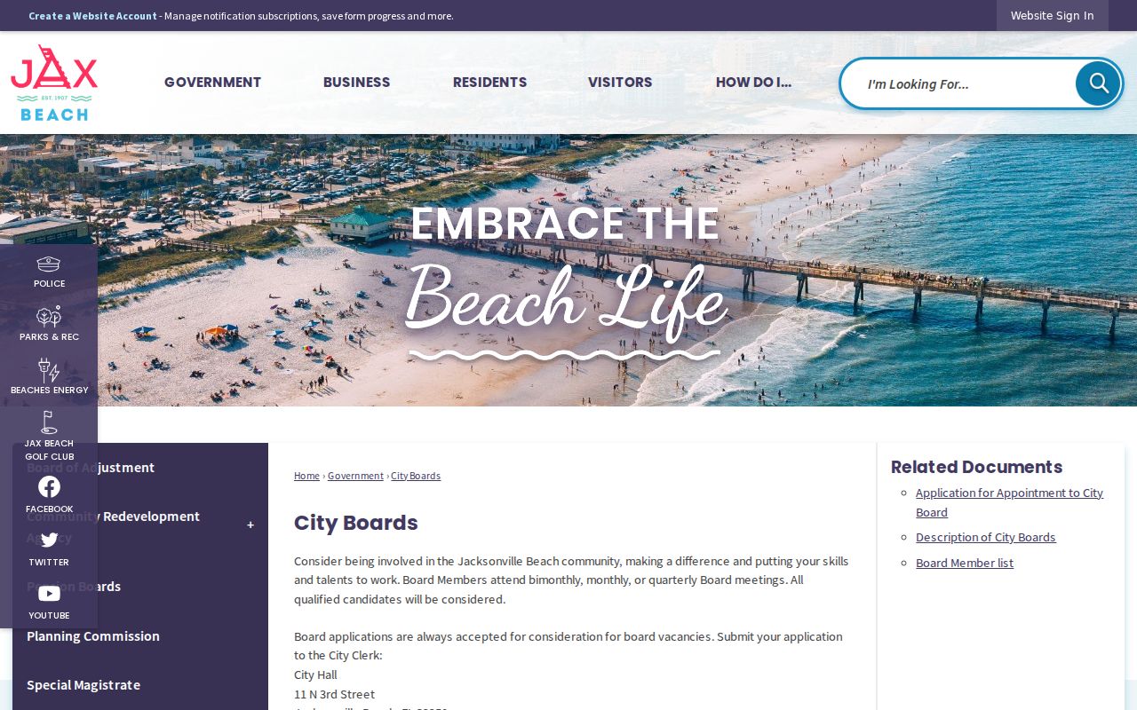
The roster identifies public service, not a private association or every person living in a neighborhood.
Map Jacksonville Beach Neighbors Nearby
Keep the workflow tied to one address. Jacksonville-named Duval systems cover Jacksonville Beach parcels because the city is inside consolidated Duval County. City Planning still controls local addressing and permits, so both county and city sources may be needed.
- Locate the address in the Duval Property Map and zoom until parcel polygons are clear.
- Use Select By/Buffer or click each lot beside, behind, and across from the starting parcel.
- Record the RE number, then confirm the owner, situs, mailing address, and homestead clue in the Property Appraiser roll.
- Use the Clerk deed index or COAST only when the ownership or building timeline matters.
This process stays near one property. For an entire named road and its full ownership chain, switch to the Jacksonville Beach street directory.
Jacksonville Beach Voter Visibility
Florida My Voter Status asks for first name, last name, date of birth, and CAPTCHA when presented. A match may show status, party, precinct, polling place, districts, and participation information, but never ballot choice. It is designed to check an identified voter, not browse every person on a block.
Public inspection is governed by sections 98.045 and 97.0585. Social Security numbers, driver or state identification numbers, and copied signatures are confidential. Protected-class addresses and Safe Address participants may also be shielded. An inactive registration does not prove someone moved, and a missing result says nothing about unregistered adults or children.
Compare Jacksonville Beach Neighbor Tools
Official rolls and commercial neighbor tools serve different roles. County data is tied to a public function and a named custodian. Commercial products may merge old addresses, people with similar names, and copied public fields. They can be stale and are not authoritative.
| Source type | Strongest use | Main limit |
|---|---|---|
| GIS and property roll | Parcel order and ownership | Does not list all occupants |
| Voter status | One identified registration | Birth date required; protected data omitted |
| City civic roster | Named public board service | Not a neighborhood membership list |
| Commercial compilation | Possible lead for later checking | May mix, lag, or misstate records |
For any fact that matters, return to the Duval Property Appraiser, Clerk, Supervisor of Elections, or Jacksonville Beach City Clerk.
Use Jacksonville Beach Safety Registers
Status-specific public safety tools are not general neighbor rolls. The Jacksonville Sheriff's Office inmate search covers current Duval booking and custody data. Florida Department of Corrections covers prison and community supervision. The FDLE registry covers designated sexual offenders and predators with its own warnings about reported addresses.
The JSO inmate search is shown below.
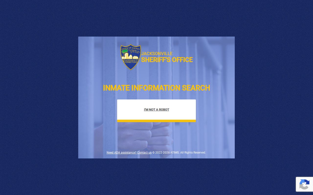
A booking record is a custody event, not proof of a current Jacksonville Beach address.
The Florida corrections search covers state custody and supervision.
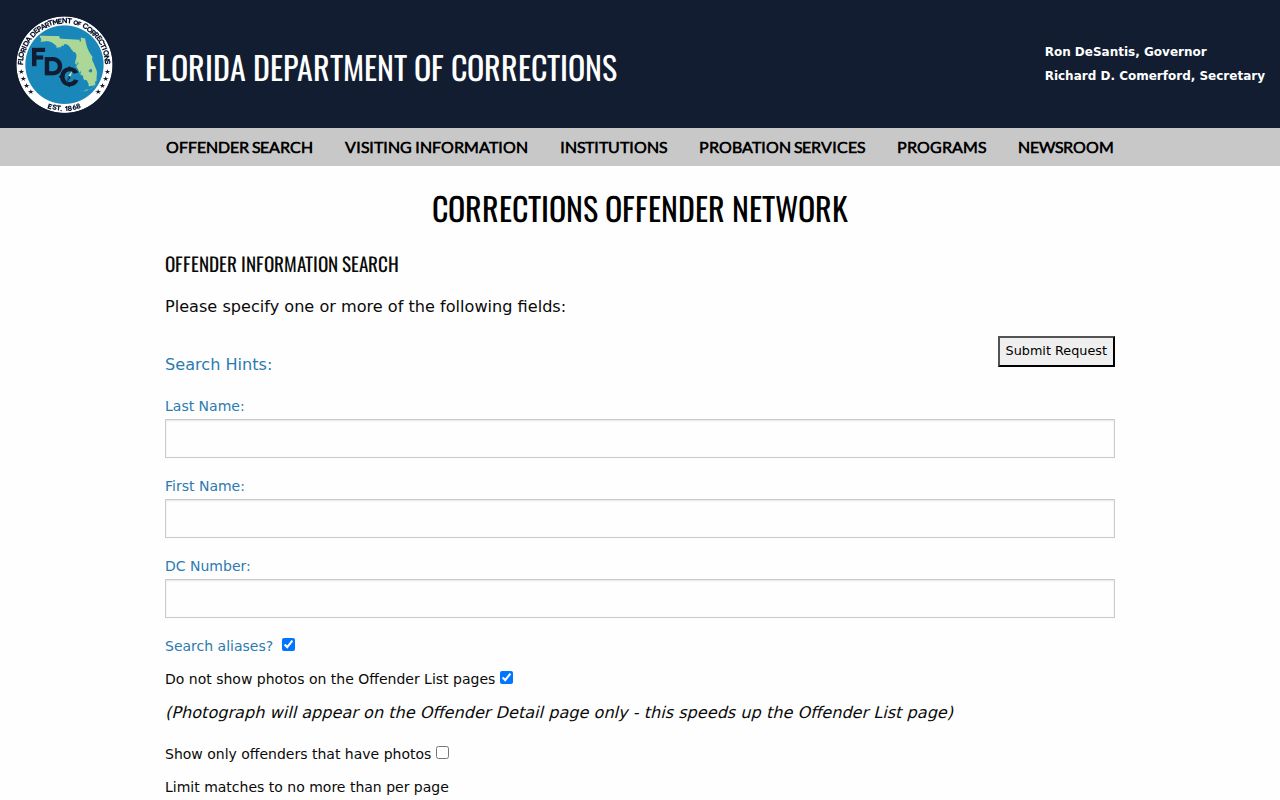
Its status, location, sentence, and release fields must not be confused with county jail data.
The FDLE registry search can filter by city, county, ZIP, type, and status.
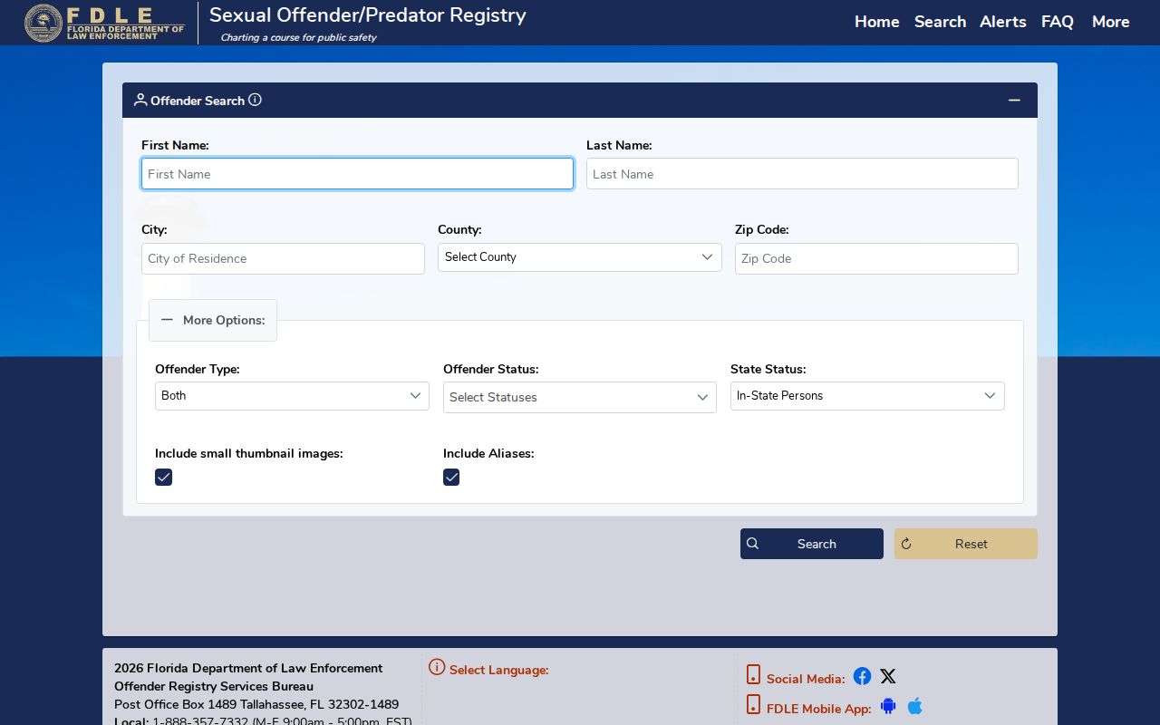
FDLE warns that transient or absconded addresses may not be current, so read the status and source notice with every profile.
Historic Jacksonville Beach Neighbors
Jacksonville Public Library's 1905 street guide orders entries by block and house number, marks cross streets and corner occupants, and even notes vacant addresses. It is an early reverse-search tool. Yet the digitized volumes do not prove full Pablo Beach or Jacksonville Beach coverage, so check the actual pages before claiming a local household.
Place names and development dates change what can be found. The settlement was Ruby, became Pablo Beach, and took the Jacksonville Beach name in 1925. Ocean Avenue was renamed Pablo Avenue. South Beach was largely unimproved until redevelopment began in the mid-1980s, so an address missing from an early directory may not have existed yet. Durable parcels and legal descriptions help bridge those gaps.
Protect Jacksonville Beach Neighbors
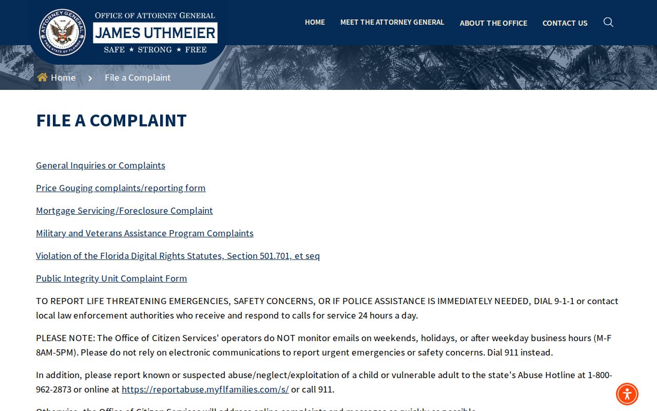
If public details are used for a scam, verify the contact through a published government number. Florida's Attorney General accepts consumer complaints, while IdentityTheft.gov handles identity theft and the FTC takes federal fraud reports. Jacksonville Beach Police is the local channel for threats and fraud.
The Florida Attorney General complaint page provides the official state route.
Save dates, messages, profile URLs, and confirmation numbers before submitting a report.
Jacksonville Beach Neighbor Privacy Limits
Public parcel ownership does not expose every person in a home. Renters, roommates, relatives, and children are absent from the ownership roll. DMV information is restricted, and utility customer lists are not public directories. Florida Safe Address substitutes a designated address for eligible victims, while section 119.071 protects addresses for listed classes and family members.
Those gaps are intentional. Do not try to defeat a protected address or infer private HOA, congregation, or block-watch membership. When a government record is wrong, ask the custodian about its correction process. Removing a copied private profile does not erase the official source.
Lawful use. Search Jacksonville Beach neighbors only for lawful personal and civic purposes. Florida law prohibits stalking, cyberstalking, harassment, and intimidation.
Read a Jacksonville Beach Block
Block research is clearest when it begins with geometry, not a list of people. Draw a short GIS line or polygon around the few parcels that answer the question. Save each RE number and situs address, then verify current owner labels in PAO. A narrow selection avoids the 1,000-result export cap and reduces the risk of mixing a nearby subdivision or a road with the same name elsewhere in Duval County.
Next, label every fact by source. PAO supplies assessed ownership and tax-mail fields. Acclaim supplies parties to recorded instruments. COAST and city requests add permits or inspection events. A voter fact applies only to an identified registrant and may omit a protected address. Historic directory street guides can name occupants in one publication year, but their beach coverage must be checked page by page. None of those sources authorizes a claim about private HOA, church, or neighborhood membership.
Dates matter on a changing block. A GIS label may lag an official parcel update, an inmate entry describes custody rather than residence, and an FDLE profile may carry a transient or absconded status. Keep the source warning beside the result. If the purpose is family history or civic curiosity, stop when the official record stops. Do not seek restricted utility, driver, Safe Address, or protected-voter information to fill a gap.
For a historic block, cite the directory year and street-guide page. Nearby names are a publication snapshot, not a present-day neighbor list.